Sport Fishing · Québec

Quebec's Smart
Fishing Map

Your lakes. Your catches. Your memories.
An app built for you — it knows every lake and river in Quebec, gives you everything you need to know, and keeps your fishing story safe.

Everything an angler needs, in a single app.

Ouananiche — Quebec Fishing
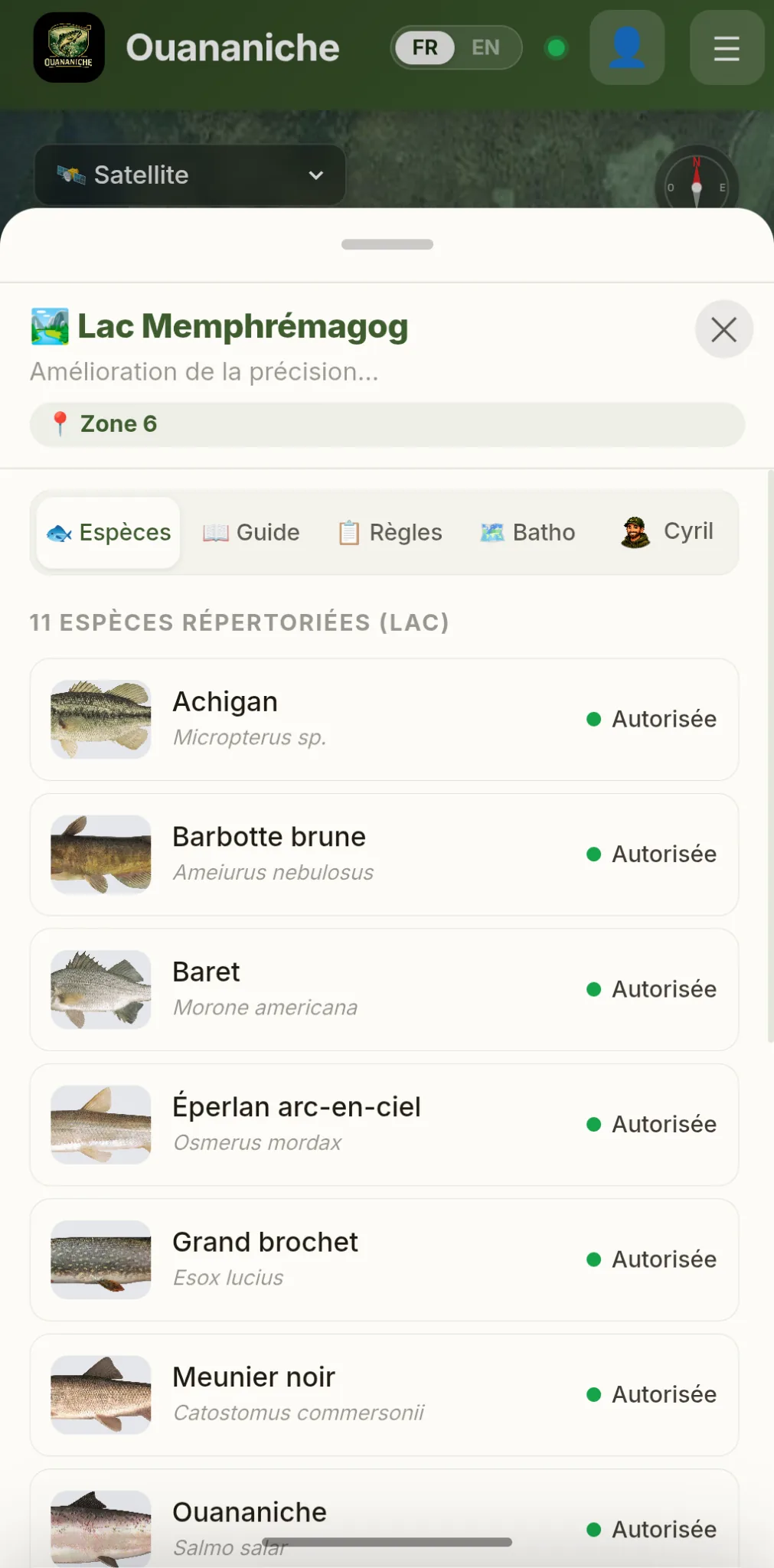
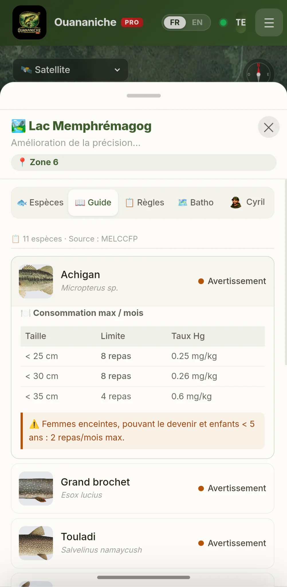
🏞️ Lac Memphrémagog · Zone 6
11 species · Zone 6
🏞️
Lac Memphrémagog
Improving accuracy…
📍 Zone 6
🐟 Species
📖 Guide
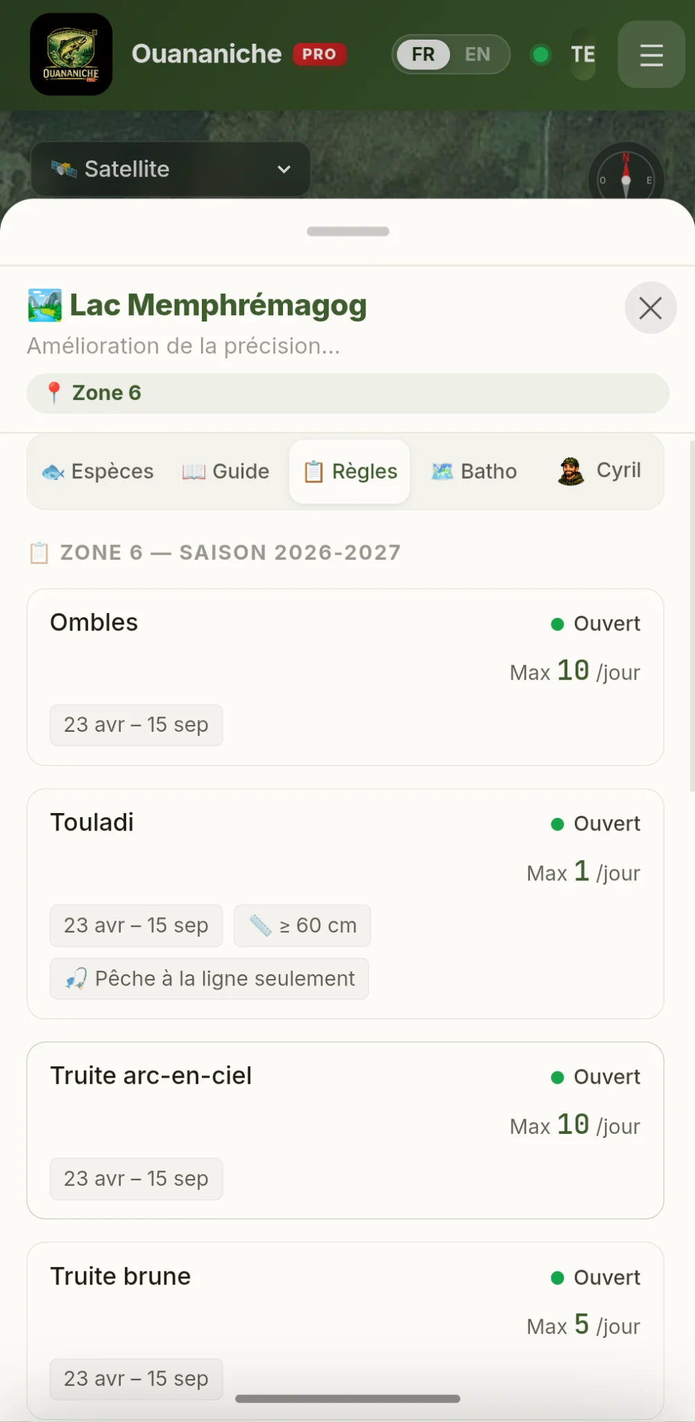
📋 Rules
🗺️ Batho
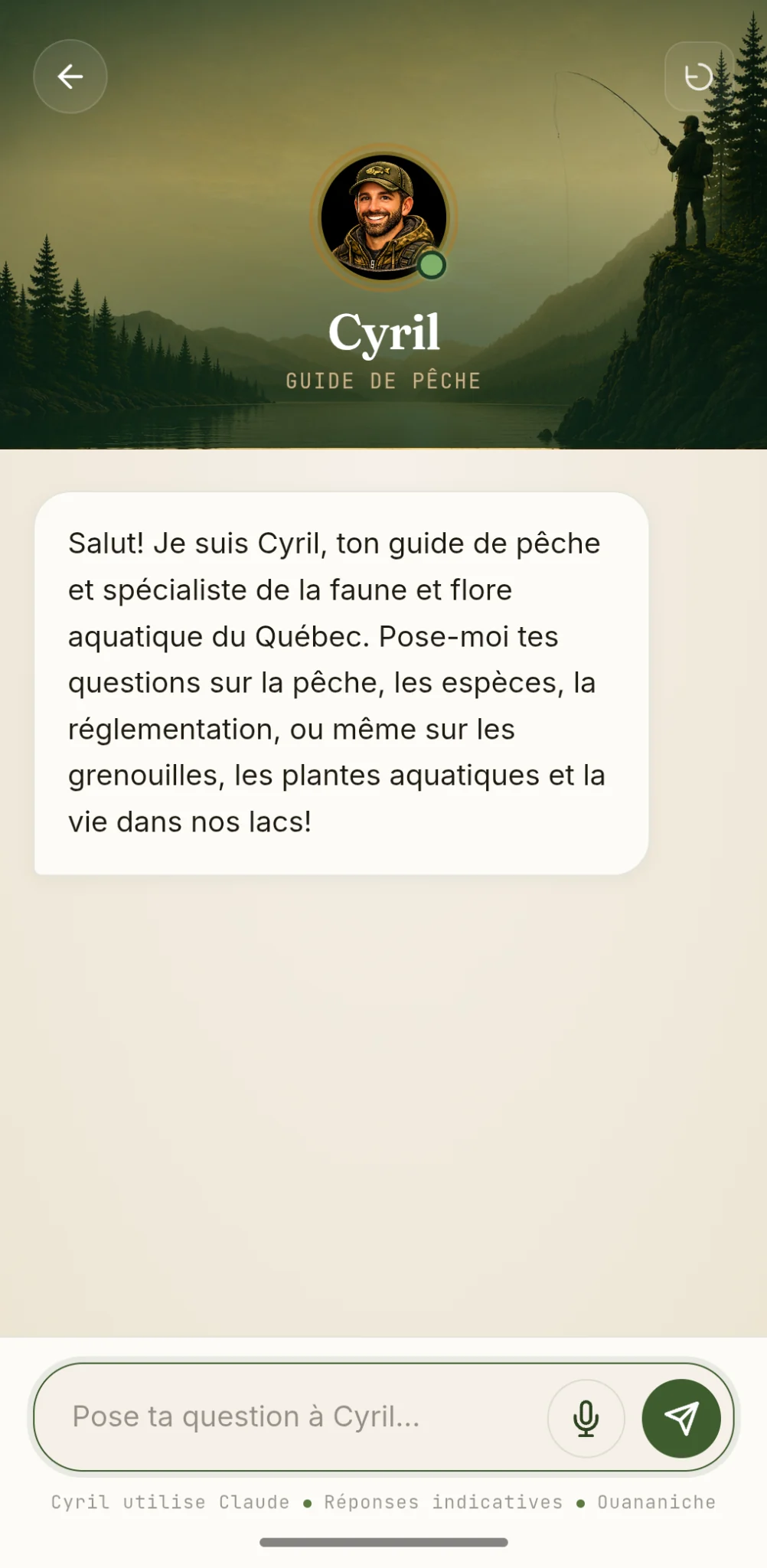
👤 Cyril
11 recorded species (lake)
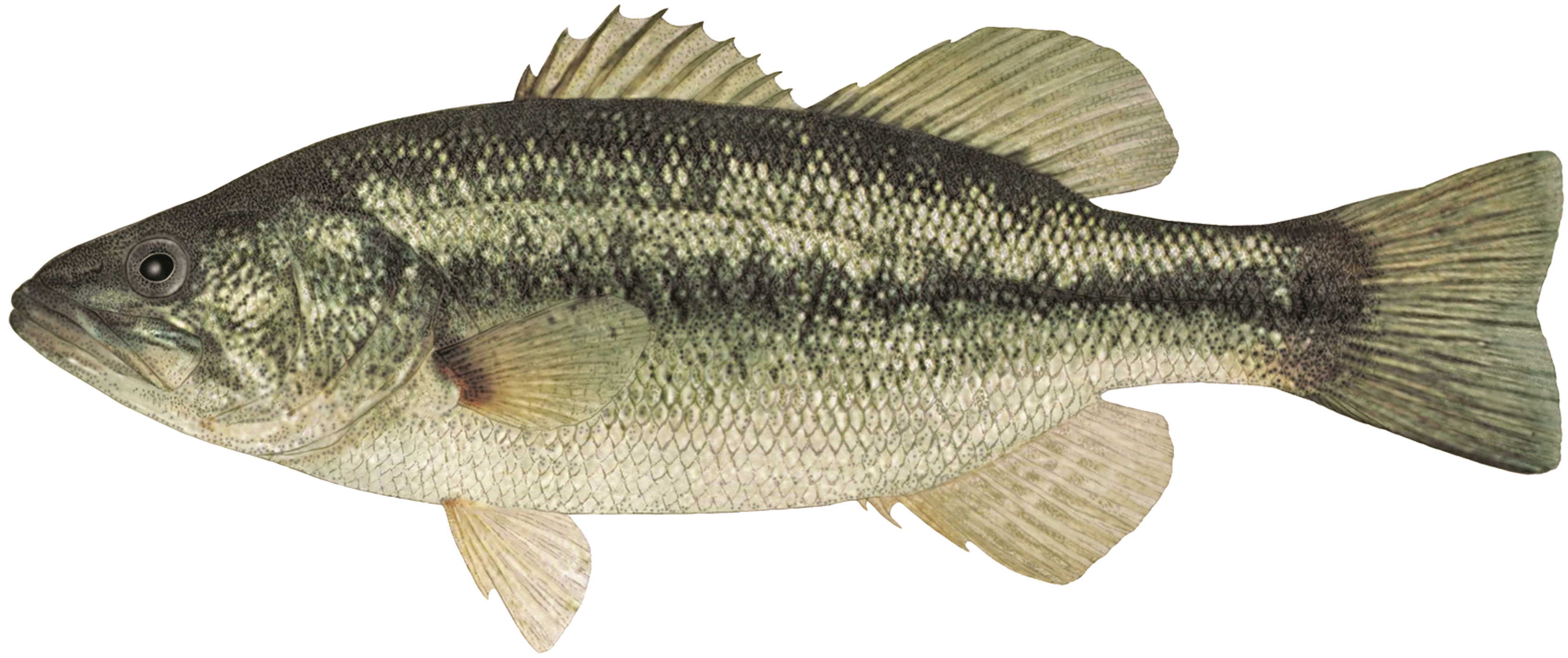
Achigan
Micropterus sp.
Permitted
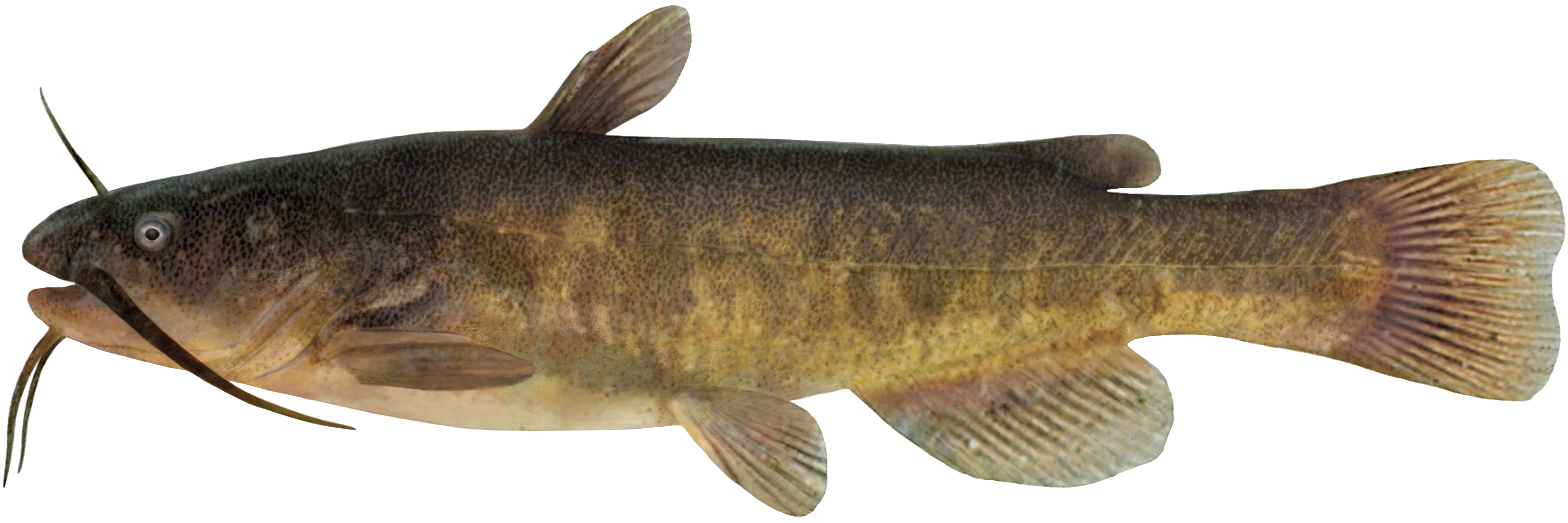
Barbotte brune
Ameiurus nebulosus
Permitted
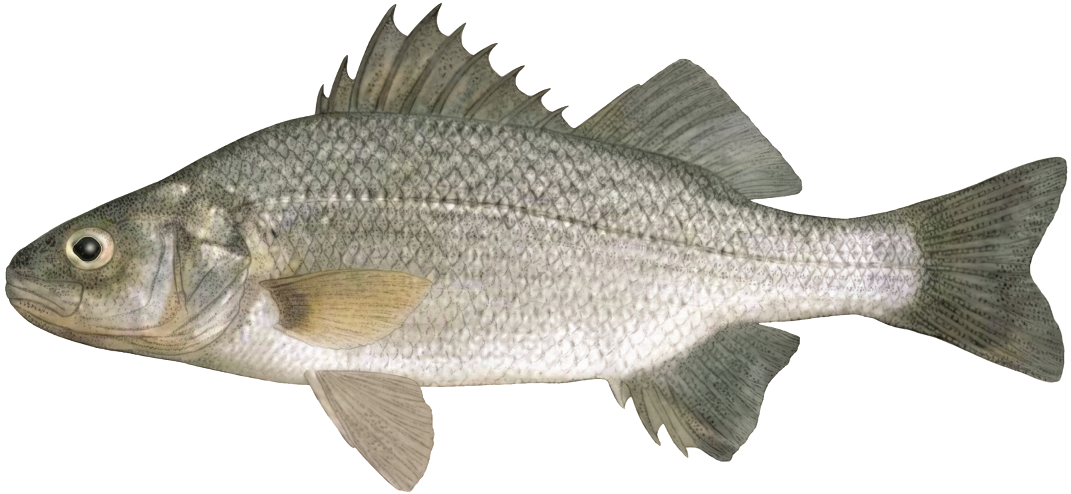
White Perch
Morone americana
Permitted
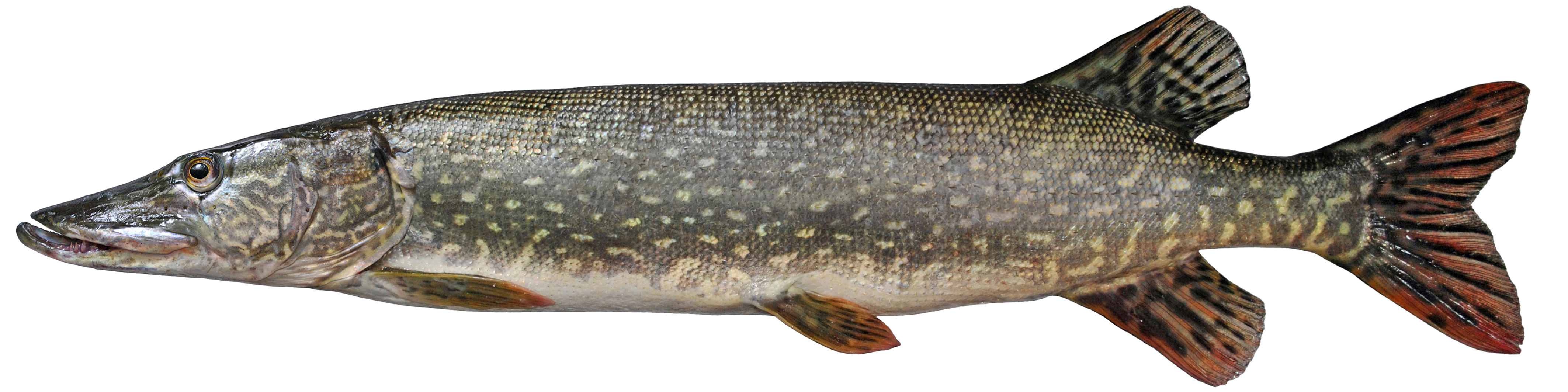
Northern Pike
Esox lucius
Permitted
🎣
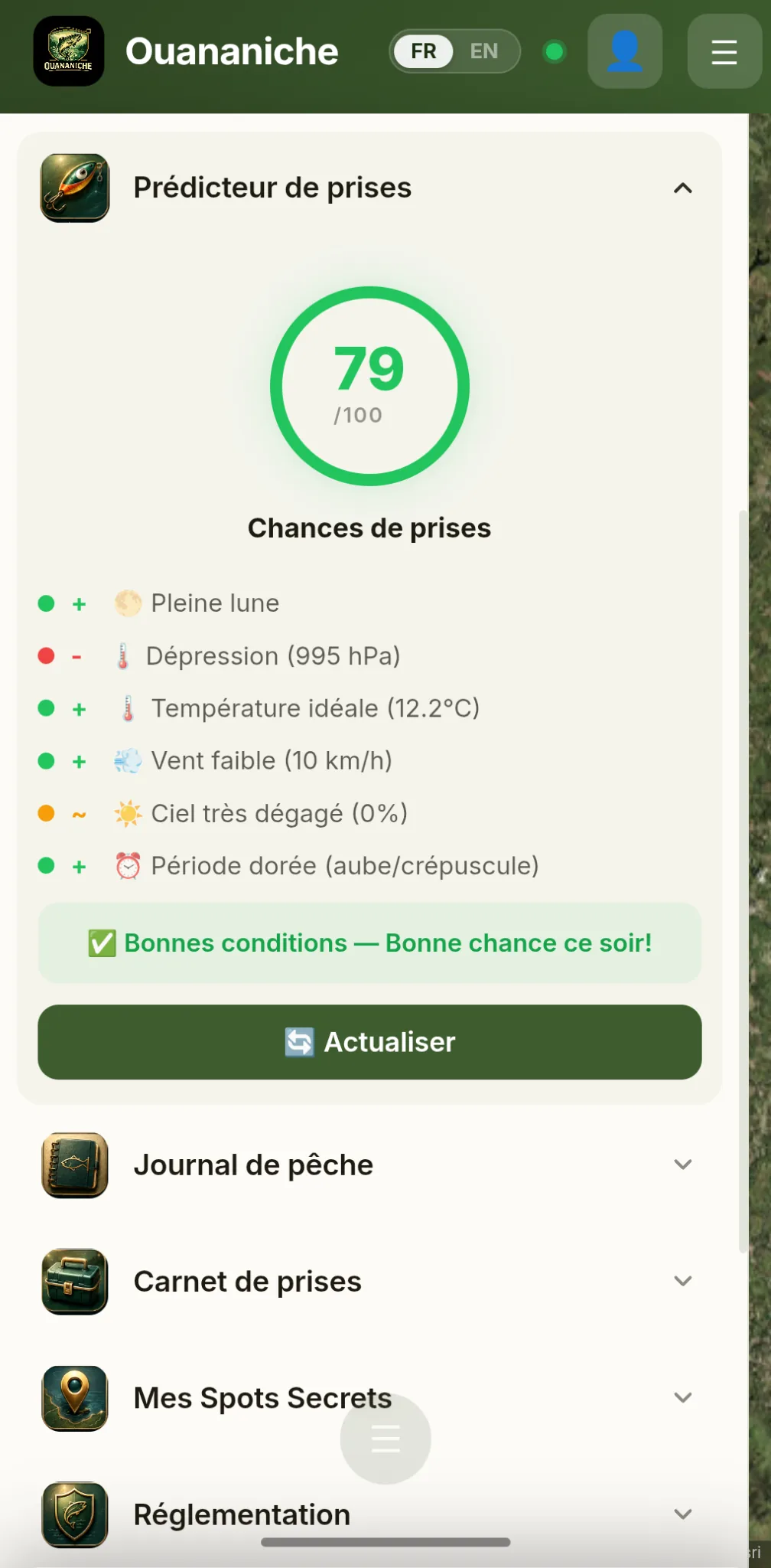
Catch Predictor
79 /100
Catch Score
+ 🌕 Full moon
↓ Low pressure (995 hPa)
+ 🌡️ Ideal temperature (12°C)
+ 💨 Light wind (10 km/h)
~ ☀️ Clear skies (0%)
+ 🕔 Golden hour (dawn)
✅ Good conditions — Good luck tonight!
Northern Pike
Esox lucius
Permitted
🎣 Top 3 recommended lures
🪱 Topwater Bait (Frog)
Surface lure · Frog / Chartreuse
Fish over and through weed beds. Slow retrieve with pauses.
Wide Spinnerbait
Vibrating lure · White / Red-white
Shallow weedy water. Flash and vibration imitate an injured baitfish.
🐟 Jointed Swimbait
Swimbait · Silver / Natural perch
Realistic prey imitation. Ideal for trophy-sized fish.
🤖 Ask Cyril for advice
43
Documented species
29
Fishing zones
1 799
Lakes with bathymetry
2 711
Species-lake profiles
1 On the Map

Everything that swims,
on the map

Ouananiche's map is your command center on the water. Eleven features unfold from a single tap — from instant lake identification to shallow-water alerts that watch over you while you fish.

01 · Tap-to-Identify

Tap a lake, unlock its secrets

Tap any body of water in Quebec. The app queries OSM, NRCan, and MELCCFP to give you the official name, fishing zone, and all species present — in seconds.

  • Official name of the water body
  • GPS-derived fishing zone
  • Complete species list
OSM · NRCanMELCCFP
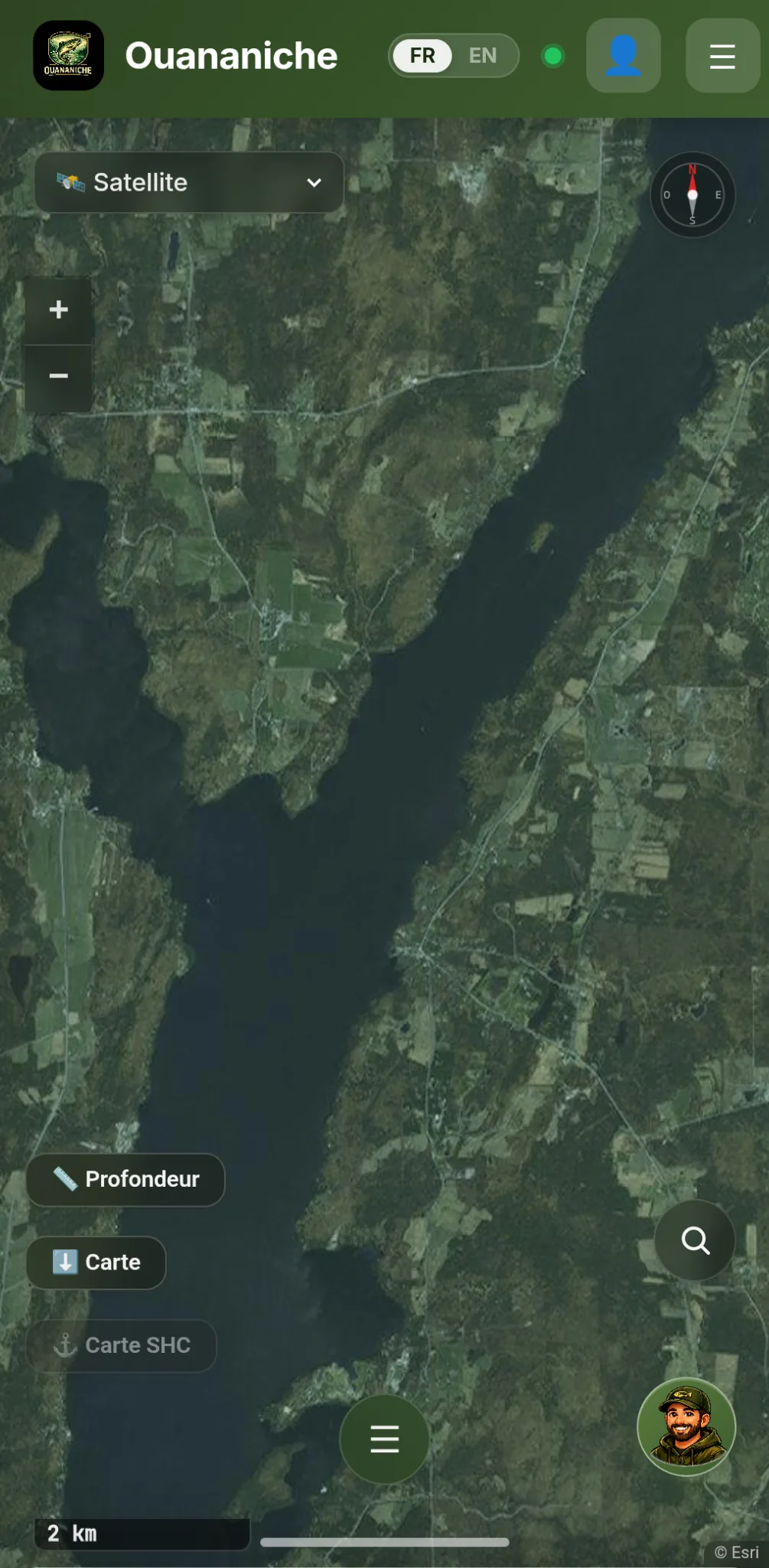
Capture d’écran de l’identification au toucher d’un lac dans Ouananiche
02 · Real-Time GPS Position New

Your boat, seen from above

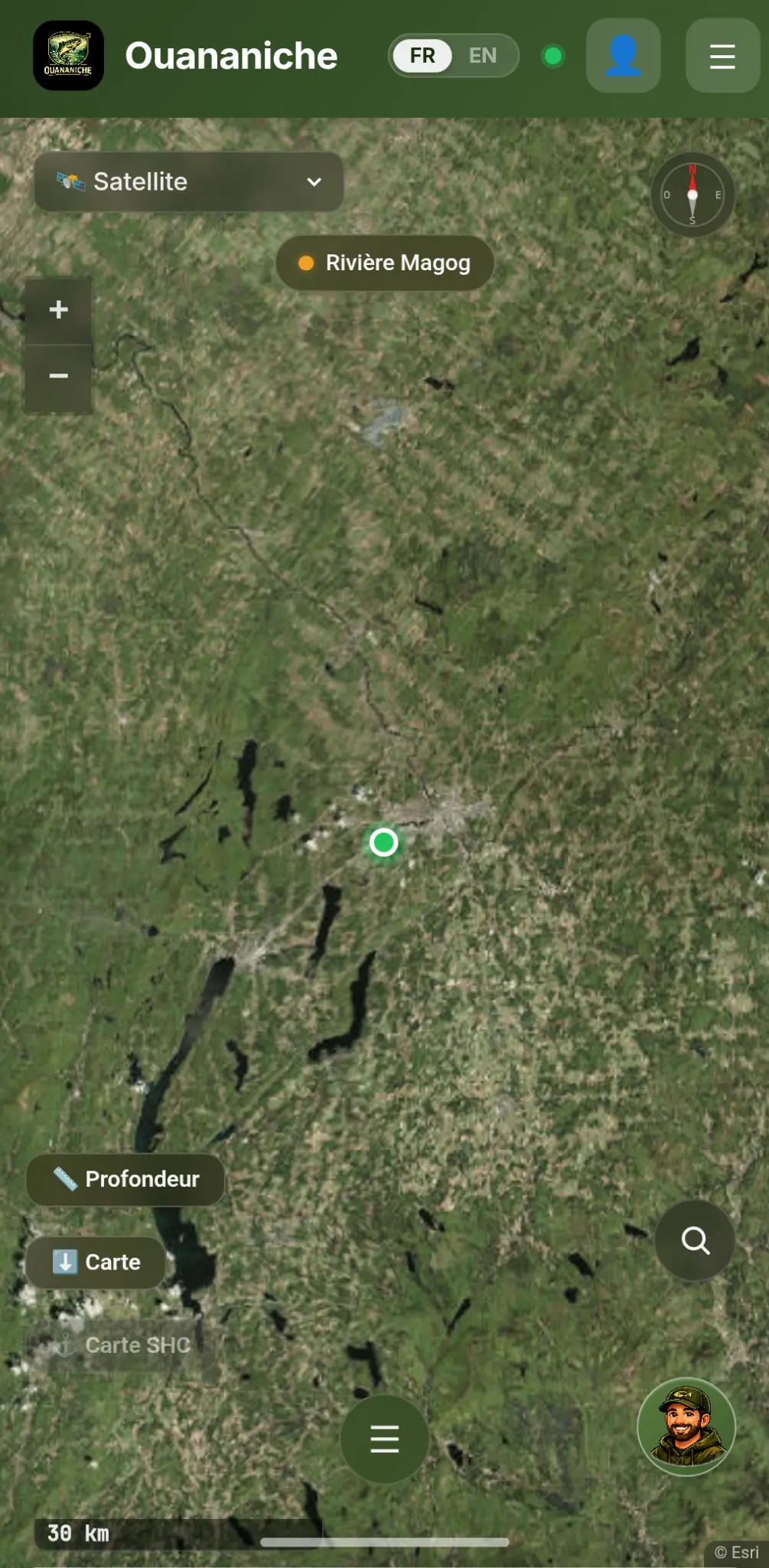
Your position updates live on the map as you move. Pinpoint yourself in a maze of islands, confirm you're in the right fishing zone, or mark exactly where that last strike happened.

  • Continuous map tracking
  • Always visible
  • No action required
High-accuracy GPSContinuous update
Capture d’écran de la position GPS en temps réel dans Ouananiche
03 · Auto-Lake Detection

The app knows where you are

As soon as you reach the water, Ouananiche automatically identifies the lake via GPS and silently loads local bathymetry. A subtle pill confirms the lake name — you're ready to fish.

  • Automatic detection on arrival
  • Silent bathymetry loading
  • Subtle visual confirmation
100% automaticPassive safety
Capture d’écran de l’auto-détection du plan d’eau dans Ouananiche
04 · Species by Water Body

Every species, their lures, their rules

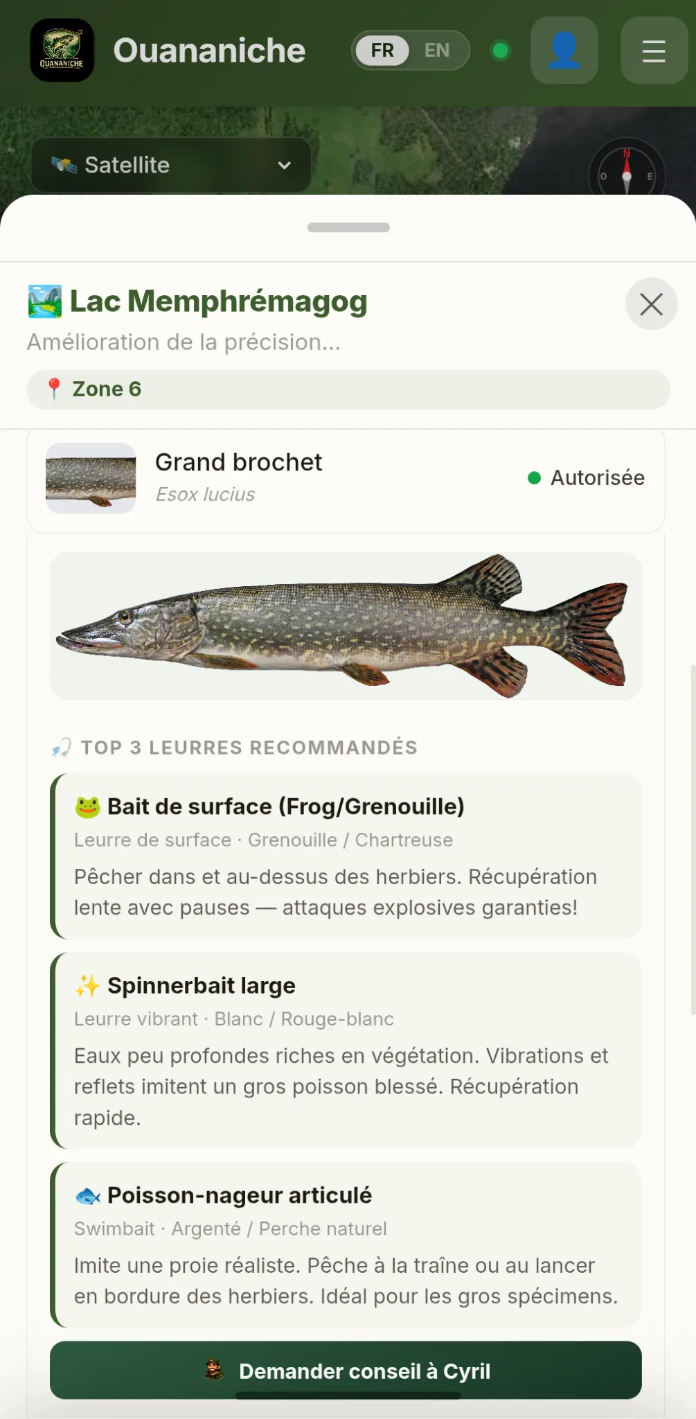
Each popup contains the filtered species list — illustrated, ranked by size, with mercury advisories. Tap a species and the top 3 lures recommended by Quebec fishing experts appear below.

  • 43 documented species
  • Smart filter by water type
  • Mercury advisories and compliance
2,711 species-lake profiles
Capture d’écran des espèces et leurres recommandés dans Ouananiche
05 · Species Filter

Find the fish, find the water

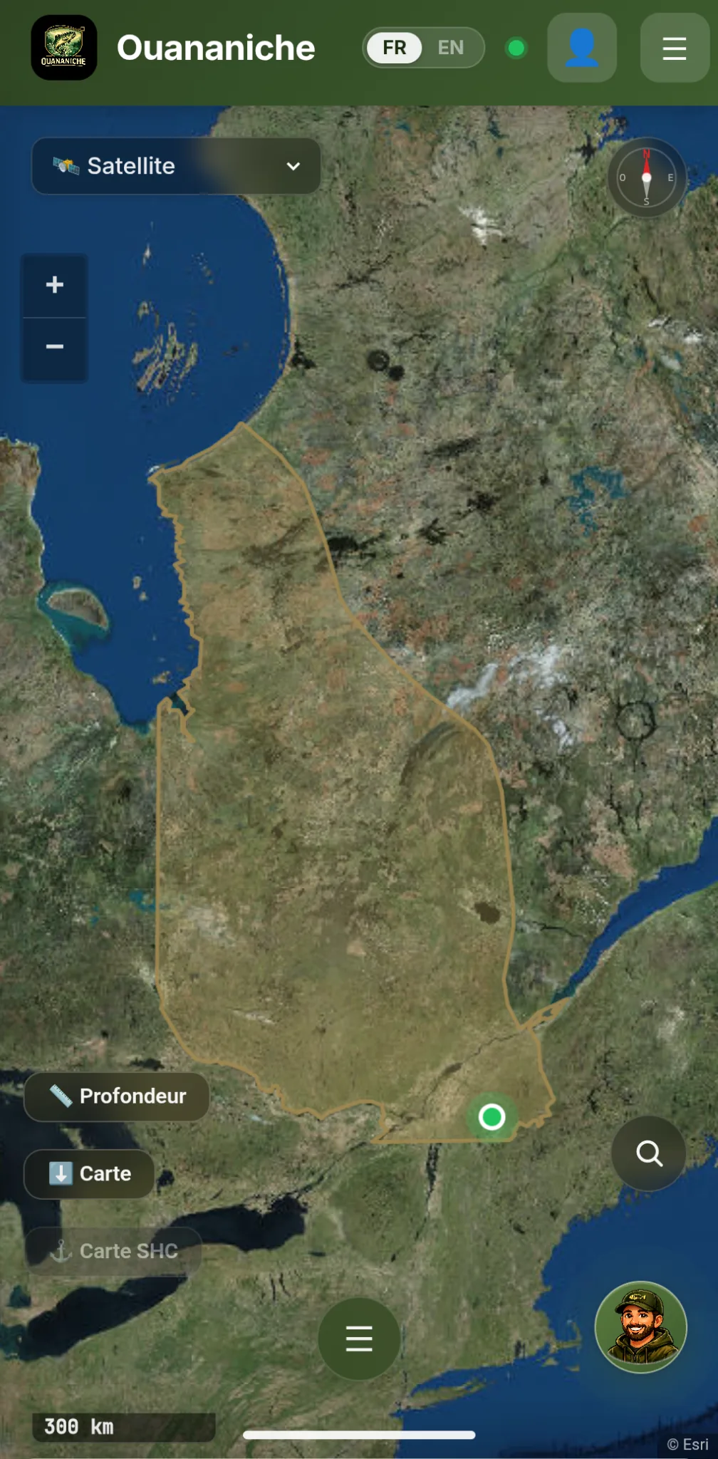
Select your target species — ouananiche, walleye, pike — and the map instantly highlights all distribution zones across Quebec. Perfect for planning your next outing.

  • 43 filterable species
  • Visual zone highlighting
  • Simplified trip planning
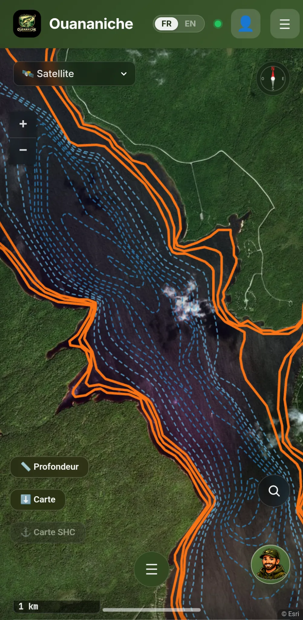
Map highlighting29 zones
Capture d’écran du filtre par espèce et des zones de répartition dans Ouananiche
06 · Bathymetry · 1,799 Lakes

Quebec's underwater terrain

Visualize depth contours — isobaths — on 1,799 Quebec lakes. Color-coded by depth, holes identified, shoals spotted. Official MELCCFP data, instant loading even offline.

  • Official depth contours
  • Color-coded by depth
  • Holes and shoals visible
MELCCFP dataOffline
Capture d’écran de la bathymétrie avec couches d’isobathes dans Ouananiche
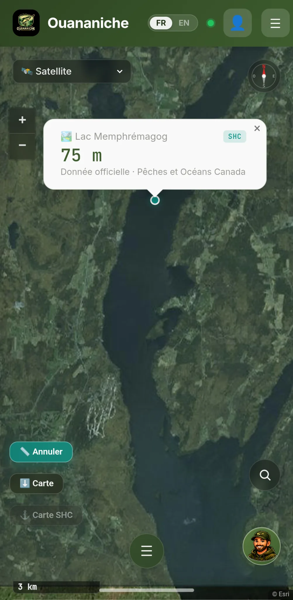
07 · Tap-to-Depth New

Tap. Know.

Activate the 📏 Depth button and tap any point on a lake or river. The app queries official CHS charts first, with automatic fallback to MELCCFP isobaths. Source and accuracy always shown.

  • Hybrid CHS + MELCCFP strategy
  • Source shown for every reading
  • 2,599 water bodies covered
Official CHSAccuracy shown
Capture d’écran de la profondeur tactile officielle dans Ouananiche
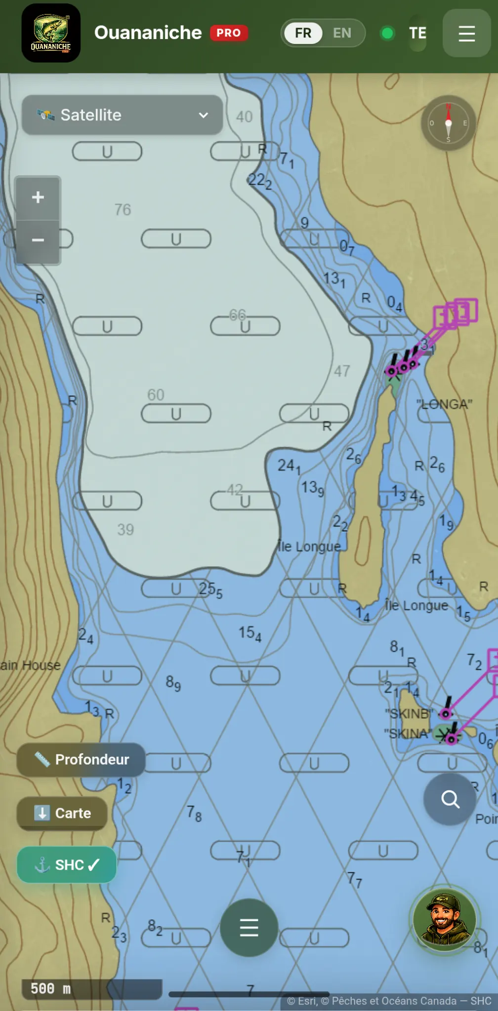
08 · CHS Nautical Charts

Navigate with confidence

Overlay the ⚓ layer to display official Fisheries and Oceans Canada nautical charts — shoals, obstructions, depths, and markers. The go-to tool for navigable waters.

  • Official DFO charts
  • Shoals and obstructions visible
  • Precise markers and depths
  • Map orientation: north, south, east or west up
DFO · OfficialN/S/E/W orientation
Capture d’écran de la carte nautique SHC officielle dans Ouananiche
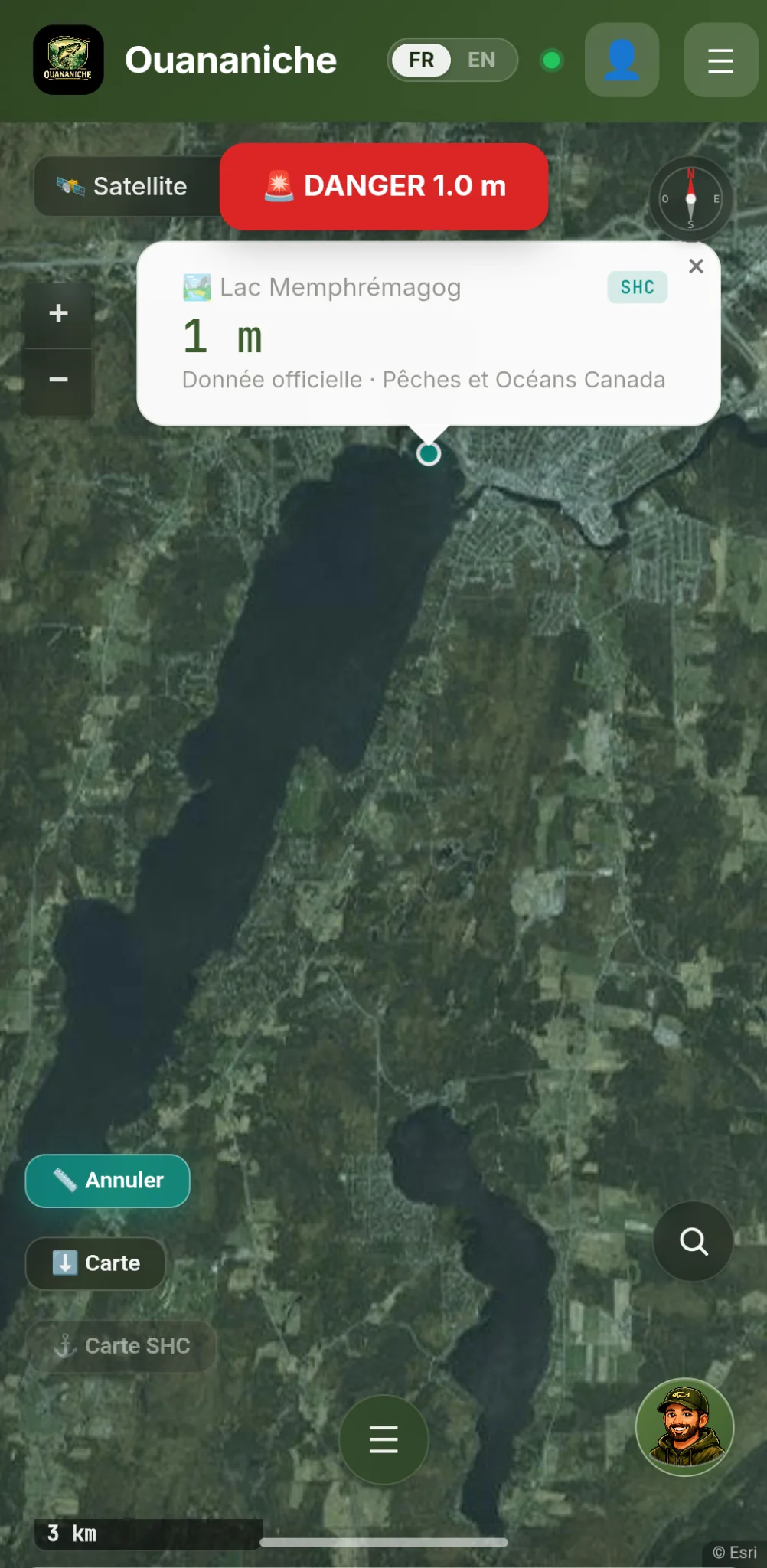
09 · Automatic Shallow-Water Alerts Passive Safety

The app watches while you fish

Once on the water, the app quietly watches over your boat. Orange alert at 5 m, audible red alarm at 3 m — thresholds adjustable to your vessel's draft. Enhanced vibration in critical zones.

  • Two alert levels (orange / red)
  • Customizable thresholds
  • Adaptive vibration and sound
Auto-activatesYou fish, the app watches
Capture d’écran d’une alerte haut-fond automatique dans Ouananiche
10 · Real-Time Sonar PRO exclusive

A fish finder, without the fish finder

No transducer to install, no extra battery to haul. Switch on 📡 Sonar mode and drop the phone in its mount: the app continuously queries official CHS charts and MELCCFP depth contours beneath your GPS position. The reading appears in oversized type, and the banner turns orange in shallow water, flashing red in critical zones.

  • New reading after just 4 m of drift
  • Oversized display, readable in full sun
  • Orange then red banner as depth drops
Hands-freeCHS + MELCCFPNo hardware
11 · My Secret Spots

Your best holes, pinned

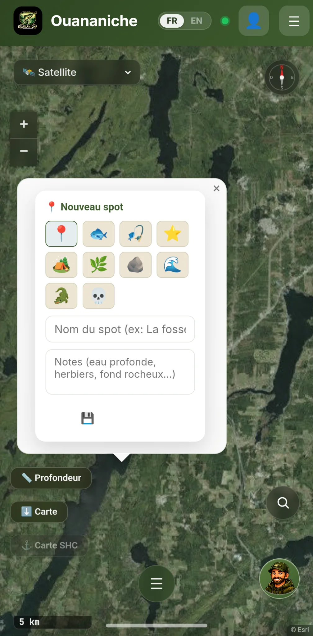
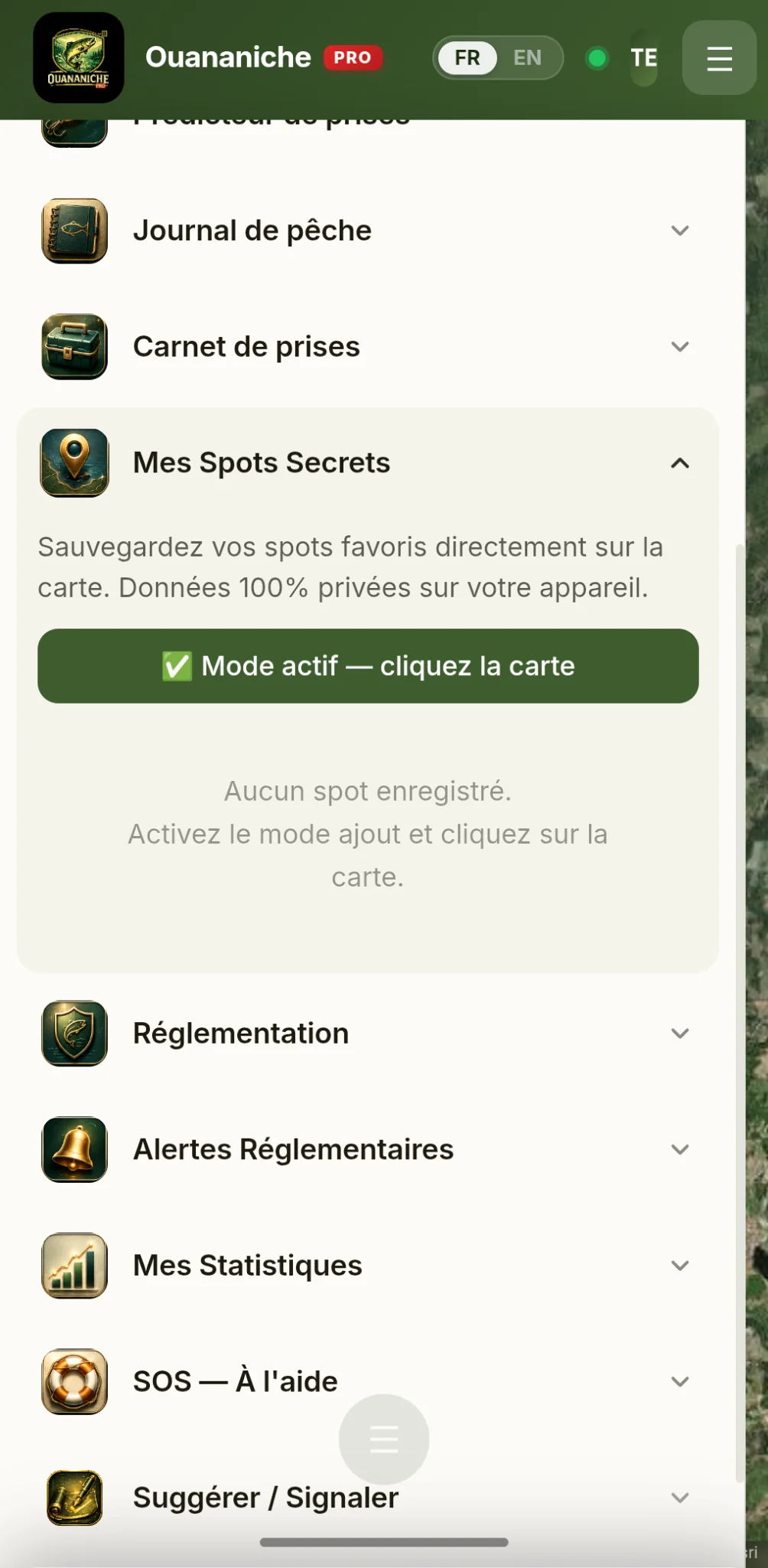
Save your favourite spots directly on the map with emoji, name, and notes. Data stays 100% private on your device. Return season after season to the holes that truly produce.

  • Personal pins on the map
  • Free emoji, name, and notes
  • Private on your device
PrivateOn the map
Capture d’écran de l’ajout d’un spot personnel dans Ouananiche
12 · Live Community Reports

See where they're biting, right now

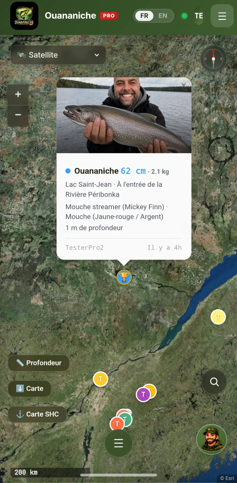
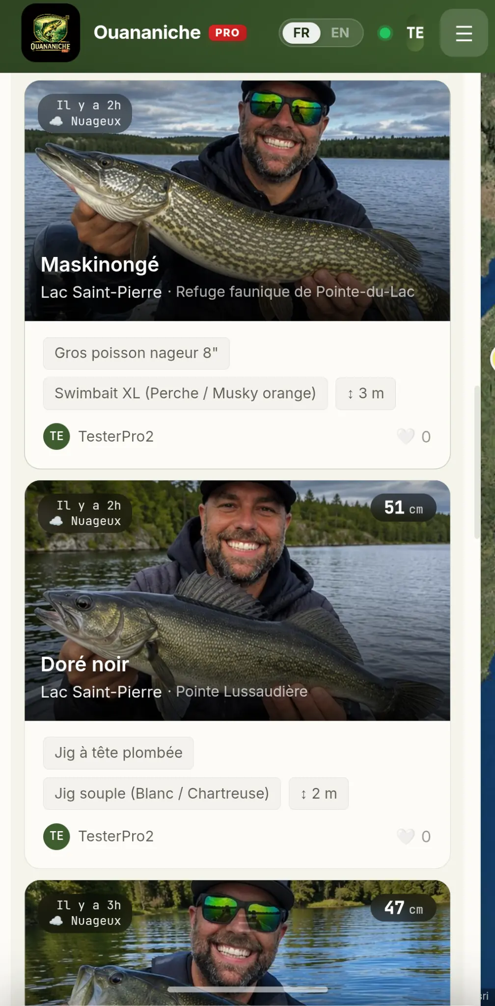
Community fishing reports appear on the map with color-coded species markers — for 7 days. See live which species are being caught, where, and by whom.

  • Reports from the last 7 days
  • Color-coded species markers
  • Active Quebec community
LiveMap markers
Capture d’écran des rapports communauté en direct sur la carte dans Ouananiche

Free.
Really.

All the essential features — map, shallow-water alerts, SOS, regulations, Catch Predictor — are free for life. Go PRO only if you want to go further.

Free 0 $
For all Quebec anglers
  • Smart map & bathymetry for 1,799 lakes
  • Automatic shallow-water alerts + lake auto-detection
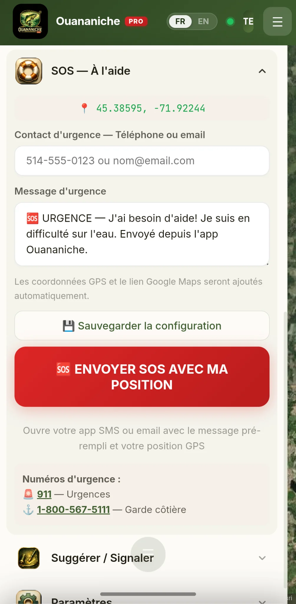
  • SOS Help (unlimited, always free)
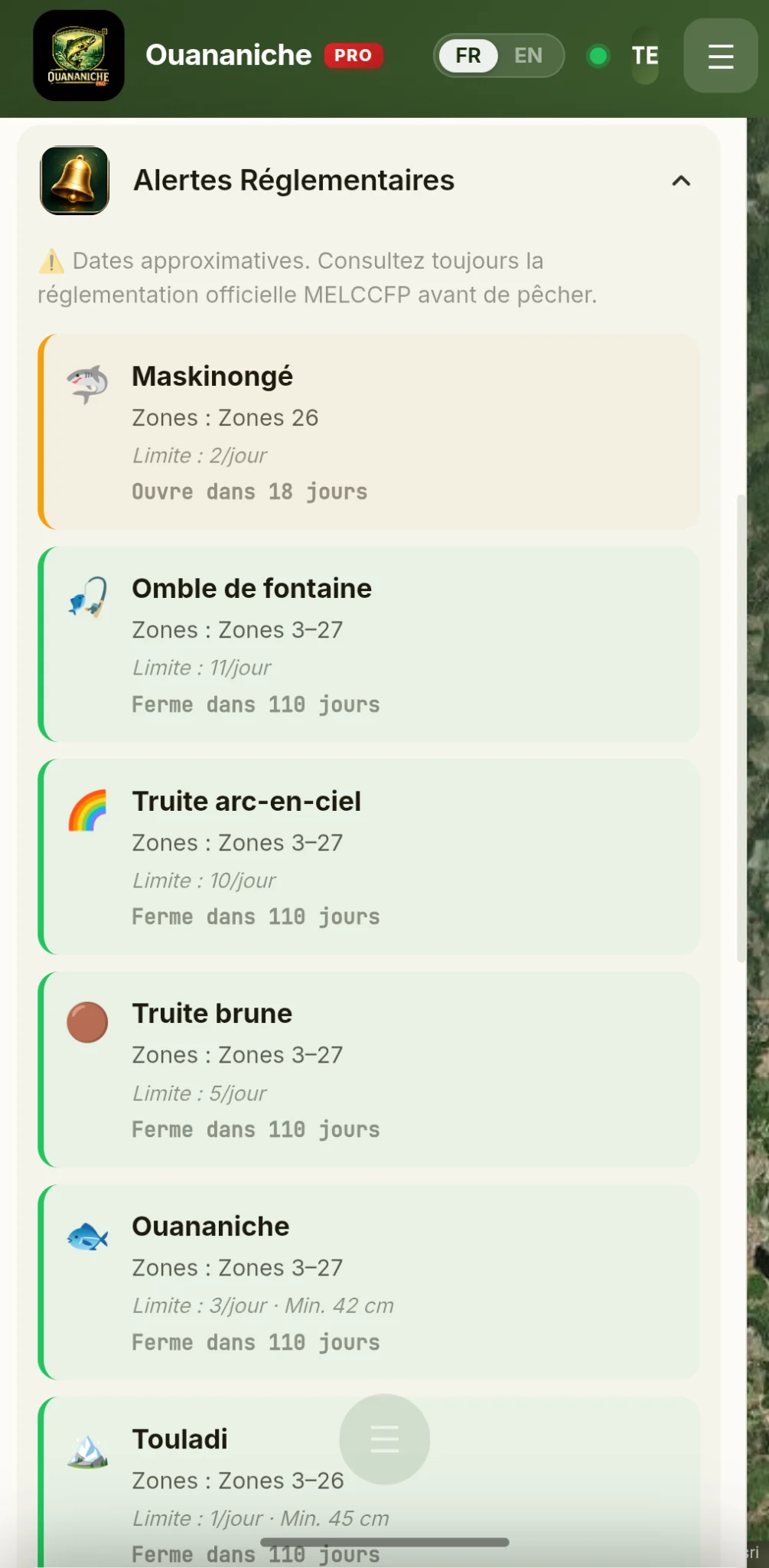
  • Complete MELCCFP guide & regulations for 29 zones
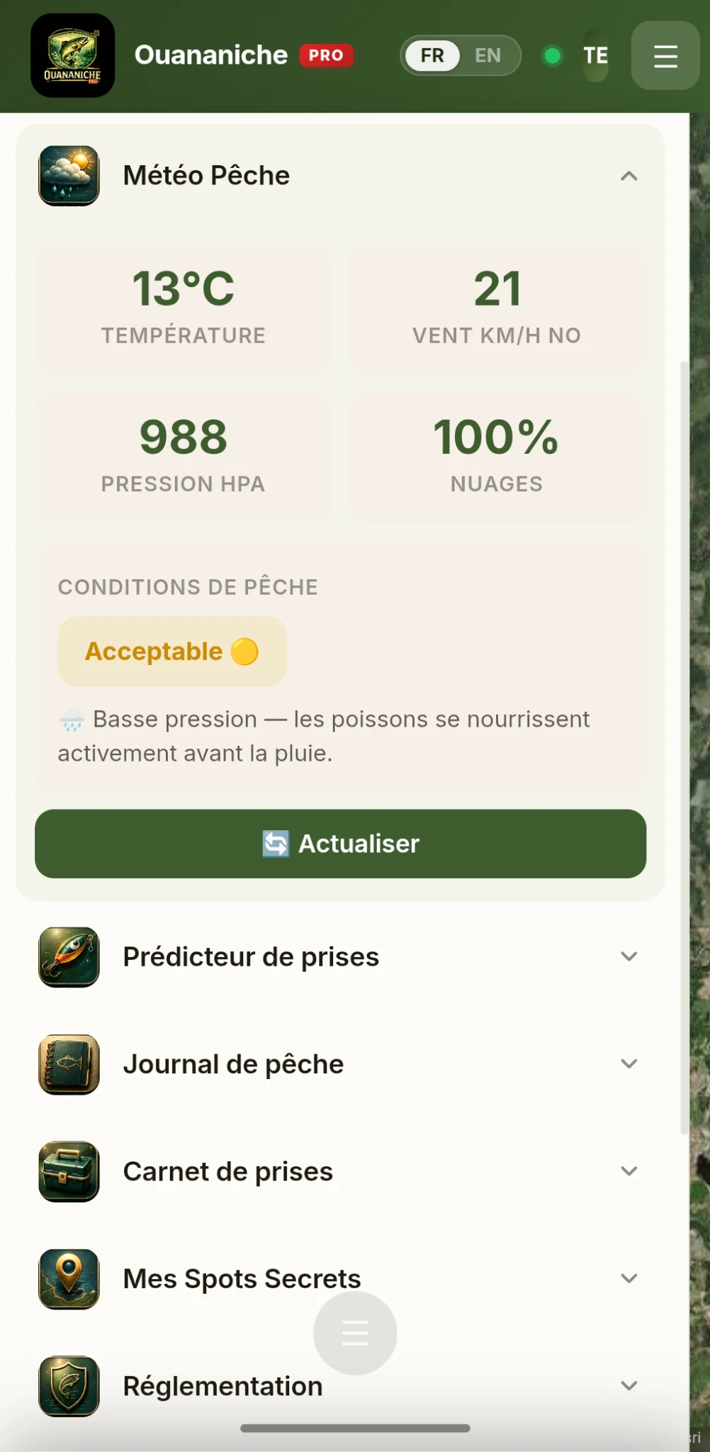
  • Catch Predictor & fishing weather
  • Catch log (5 max) & secret spots (5 max)
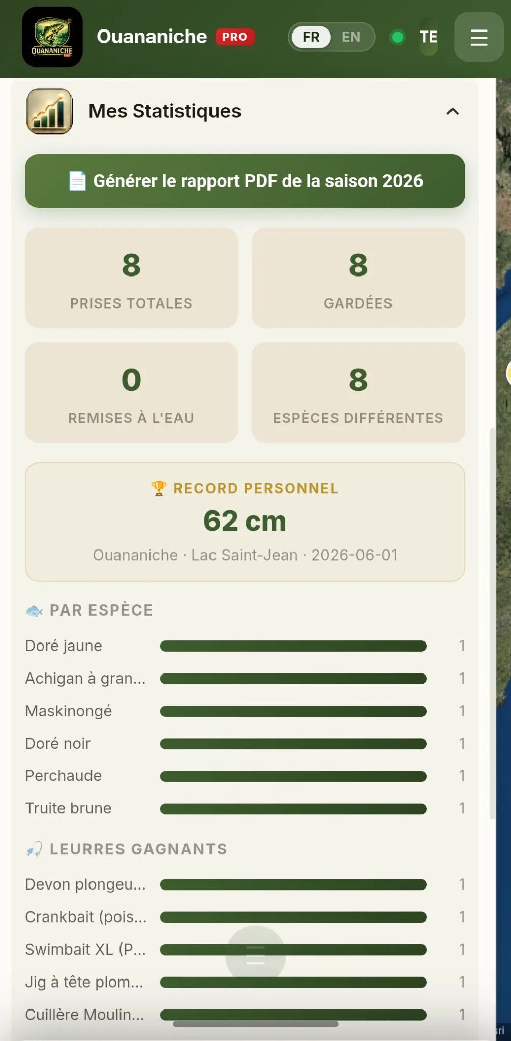
  • Fishing journal & season statistics
  • Cyril (15 lifetime questions) & Scan — Species (5 lifetime)
  • Community (read) & PWA offline
🎣 Start for free
🔥 Launch Price
PRO
3,99 $ / month
instead of $4.99/month
or $30/year instead of $39 · save $18
For anglers who build a history
  • Everything in Free, without any limit
  • Real-time sonar — continuous depth beneath your position
  • Catch log, spots & journal unlimited
  • Cyril + Scan — Species unlimited
  • Multi-year statistics & trends
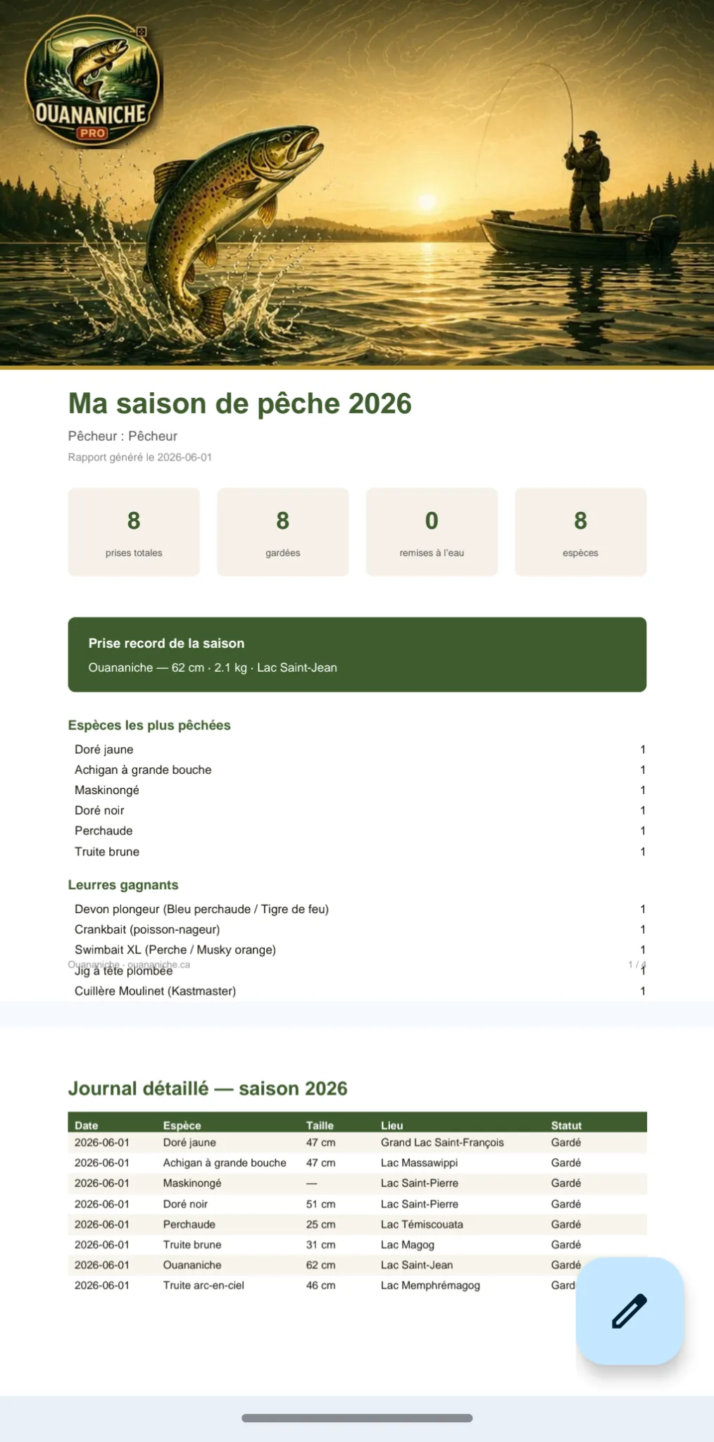
  • PDF reports & season export
  • Unlimited community publishing
  • Custom alerts by favourite species
  • PRO badge & priority support
💎 Try PRO free for 48h
No credit card required for the trial
🔓 Cancel in one click Made in Québec 💾 Your data belongs to you

Share your catches.
Inspire others.

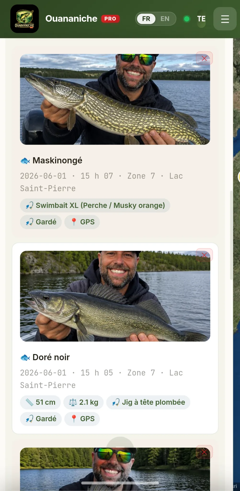
Publish your fishing reports live — species, lake, technique, and photo. Reports from the last 7 days appear on the map with color-coded species markers.

MT
MarcTremblay
2 hours ago
🐟
52 cm ouananiche at Lac Memphrémagog, North sector. Mepps #3 silver spinner. Overcast, light wind — perfect for surface fishing.
🐟 Ouananiche 📏 52 cm · 1.8 kg ❤️ 14
SB
SylvieBeaumont
5 hours ago
🐠
38 cm largemouth bass at Lac Brome, West bay. ¼ oz green jig. Sunny and calm — great day!
🐠 Bass 📏 38 cm · 0.9 kg ❤️ 8
🗺️
Reports on the Map

Reports from the last 7 days appear directly on the Leaflet map — color-coded species markers. See where they're biting in real time.

📊
Community Statistics

Top species this week, number of reports published this month — the pulse of Quebec fishing at a glance.

Your next lake
is waiting.

Open the app and start exploring Quebec's lakes and rivers right now.

🎣 Launch Ouananiche
✓ No sign-up required ✓ Official MELCCFP data ✓ iOS & Android ✓ 100% Quebec-made app